New Northumberland flood maps published


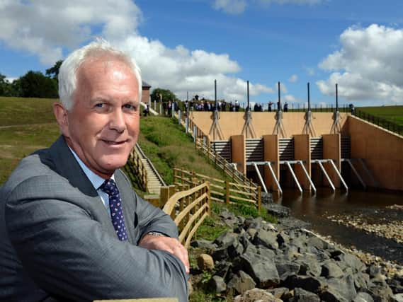
Information about the risk of flooding in a number of locations in the county has been updated on the Environment Agency website. The details – updated for Morpeth, Warkworth, Belford and Kirknewton - reflect the benefits of flood-alleviation schemes in the areas. The information can be viewed on the Environment Agency Flood Map – Risk of flooding from Rivers and the Sea.In Morpeth, the £27million flood alleviation scheme – including town centre flood defences and an upstream storage area at Mitford – was completed last year reducing the risk of flooding to around 1,000 homes and businesses.In Warkworth, a £400,000 flood scheme in 2014 including a new flood wall and ground raising in the village reduced the risk of flooding to 35 homes. A £300,000 pioneering natural flood management scheme, which started in 2008, saw the natural landscape harnessed to reduce the risk of flooding in Belford. And in Kirknewton, 13 homes benefited from a £100,000 flood embankment in 2011.The newly-published maps will reflect the benefits of these flood-alleviation schemes. Environment Agency Flood Risk Manager for the North East, Phil Welton, said: "We know how much concern there has been about insurance premiums and we’ve been working hard to support residents in any way we can, so we know they’ll be interested to learn about this new information."Insurance companies use a variety of sources to calculate premiums and it’s up to individual companies as to how they use the information we provide."If they use it they do so alongside their own existing data and other relevant information, including that which the customer may be able to provide."Insurers will then make an assessment about whether they can provide insurance cover and under what terms. We’ll continue to do everything we can to support residents."The new map can be given to insurance companies alongside an individual insurance related report, which can be requested by residents.Any residents who are renewing their insurance and would like this information can contact the Environment Agency directly at [email protected]