The medieval background to '˜enclosures'


Ownership by conquest in a thinly populated region allowed the barons to regard land almost as a free good, like air and sunlight, and they gave away huge tracts of it to monasteries and the like.
William de Merley, the first Baron of Morpeth, gave the lordship of Morwick, near Warkworth, to the monks of Durham. His son Ralph founded Newminster Abbey.
Advertisement
Hide AdAdvertisement
Hide AdRalph’s son, William, gave a carucate of land to the infirmary at Morpeth. A carucate (or ploughland) was 120 acres. Both hospital and land were probably in Catchburn.
Another of Ralph’s sons, Roger de Merley I, gave a toft and two bovates of land in Stannington to the monks of Hexham. A bovate, or oxgang, was nominally 15 acres, or an eighth of a carucate.
As you see, the number of such gifts did not diminish as time went by, but they became smaller.
With the founding of Morpeth in 1188, a brisk trade grew up in the conveyancing of land, both burgage plots and strips in the open fields.
Advertisement
Hide AdAdvertisement
Hide AdThe earliest record John Hodgson found was in 1283, on the Friday before the Assumption of the Blessed Virgin Mary, viz. August 15. Alice, daughter of Thorald of Morpeth and widow of Robert of Saltwick, granted to Richard of Morpeth two roods of land.
A rood is a quarter of an acre so we are probably talking about two burgage plots, each one rod wide (5½ yds, 16½ ft) and a furlong (220 yards) in length. These are, of course, nominal figures. Actual burgage plots varied, depending on the lie of the land.
One fell between the land of William, son of Galfrid, on the west and that of Richard on the east. It was probably in Oldgate or Bridge Street. The other was where Ralph de Barton used to live.
In exchange, Alice received two roods closer to her own house to hold forever by the accustomed services to the lord.
Advertisement
Hide AdAdvertisement
Hide AdThere are never any plans so even when the position and boundaries of the pieces are given in detail, they leave us little the wiser.
By another deed, William of Morpeth conveyed to Richard de Morpeth, Clerk, three acres of ground in the field of Morpeth. We don’t know exactly where this was, but probably south of St Mary’s Church and rectory. It seems from other deeds to have extended across to Stobhill.
The three acres were all in a part called Florys, or Floors. First was an acre called the Shorteaker, lying between the lands of Robert of the Park on the east and Robert at Church on the west.
Next, five roods containing six selions abutting the land of Roger Cramper; one rood between the lands of Nicholas and Robert, near the Stadandstone; another extending to the Kyrckeburn, also between the lands of Nicholas and Robert; and one going towards Halleslath, near the land of William, son of William.
Advertisement
Hide AdAdvertisement
Hide AdWe have here an acre and eight roods in five separate pieces, making three acres in all. A selion in this case was not a measure, but means only that the Shortacre was divided into six strips.
The reference to the Kyrckeburn is hardly likely to mean the Churchburn under what is now Deuchar Park; in those days it was a valley with precipitous sides. But was it the Churchburn where it runs through the golf course towards Stobhill? Or was it the little burn that runs just to the north of St Mary’s Church?
We can reasonably draw two conclusions from all this. First, that the land was still cultivated in common. That is, everybody grew the same crops on it in any particular year and carried out operations at the same time.
Secondly, each parcel had a definite owner. The title they held by was copyhold. That is, proof of ownership was a copy of the entry in the manorial rolls. The freehold belonged to the lord of the manor.
Advertisement
Hide AdAdvertisement
Hide AdOne of the interesting things about these deeds is the status of the participants and those who witnessed them.
A hundred years earlier, in 1183, the survey of the lands of the Bishop of Durham, called Boldon Book, recorded 22 villeins and 12 cottagers at Boldon. They had to work three days a week for the Bishop, a very heavy burden of labour, as well as four days at harvest.
But even at that time, there were very few villeins on the Bishop’s estates in what is now Northumberland. In Bedlingtonshire there were just a few cottagers at East Sleekburn, though the men of Bedlington did have certain labour obligations, such as lifting and carting hay, and working on the hall and fishponds, etc.
In remote Norhamshire, there were villeins at Thornton, Grindon and Horncliffe, some of whom had to work two days a week for the Bishop. Their labour was actually leased out to a tenant, along with the land. But the overall impression one gets is that serfdom was a comparative rarity north of the Tyne.
Advertisement
Hide AdAdvertisement
Hide AdHodgson found no mention of villeins, serfs or cottars in Morpeth. All of the people in these records seem to have been free. There were customary payments and perhaps other obligations to the lord of the manor, but they appear to have attached to the land, not to the person.
Not every transaction related to the town or the open fields. In 1296 John de Graystock, knight, Lord of Morpeth, granted to John Meresscall (Marshall) of Morpeth ten acres of his moorland of Morpeth, lying between the high street going to Newbiggin on the north and the ditch of Shadfen, in recognition of his services to Sir John in the King’s wars in Scotland. It looks as if this land was somewhere near to Dunce’s Houses.
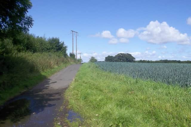
The rent was a penny a year, and he was to grind all of his corn that he grew on it at the lord’s mill at Morpeth. It would have been essential to enclose this land to keep grazing animals off. If so, what we have here is an example of enclosure and conversion to arable in the 13th century, long before the Tudors, Stuarts and Hanoverians.
The land would, moreover, be under one's personal control, without the encumbrance of being part of the common fields.